You Li
2013
- W. Randolph Franklin, You Li, Tsz-Yam Lau, and Peter Fox.
CUDA-accelerated HD-ODETLAP: lossy high dimensional gridded data compression.
In Xuan Shi, Volodymyr Kindratenko, and Chaowei Yang, editors, Modern Accelerator Technologies for Geographic Information Science.
Springer, 2013.
[abstract▼] [details] [full text] [BibTeX▼]
2012
- W. Randolph Franklin, You Li, Tsz-Yam Lau, and Peter Fox.
CUDA-accelerated HD-ODETLAP: lossy high dimensional gridded data compression.
In 2012 International Workshop on Modern Accelerator Technologies for GIScience (MAT4GIScience 2012). Columbus OH, 18 Sep 2012.
[details] [full text] [slides] [BibTeX▼]
2011
- Tsz-Yam Lau, You Li, and W. Randolph Franklin.
Joining fragmentary river segments with elevations and water flow directions using induced terrain (extended abstract).
In 21st Fall Workshop on Computational Geometry. City College, New York City, USA, 4–5 Nov 2011.
[details] [full text] [BibTeX▼] - You Li.
CUDA-accelerated HD-ODETLAP: a high dimensional geospatial data compression framework.
PhD thesis, Rensselaer Polytechnic Institute, 2011.
[details] [full text] [BibTeX▼]
2010
- W. Randolph Franklin, Zhongyi Xie, Eddie Lau, and You Li.
Algorithms for terrain and bathymetric sensor data.
In ICA Workshop on Advances in Sensors and Algorithms for Topographic and Thematic Mapping. Orlando, Florida, 19 Nov 2010. The International Cartographic Association (ICA) Commission on Mapping from Satellite Imagery.
[details] [full text] [slides] [BibTeX▼] - You Li and W. Randolph Franklin.
4D-ODETLAP: a novel high-dimensional compression method on time-varying geospatial data.
In Geospatial Data and Geovisualization: Environment, Security, and Society, a special joint symposium of ISPRS Technical Commission IV & AutoCarto 2010. Orlando, Florida, 15–18 Nov 2010.
[details] [full text] [slides] [BibTeX▼] - You Li, Tsz-Yam Lau, Chris Stuetzle, Peter Fox, and W. Randolph Franklin.
3D oceanographic data compression using 3D-ODETLAP.
In 18th ACM SIGSPATIAL International Conference on Advances in Geographic Information Systems (ACM SIGSPATIAL GIS 2010). San Jose, CA, USA, 2–5 Nov 2010.
(PhD Dissertation showcase).
[details] [full text] [slides] [BibTeX▼]
2009
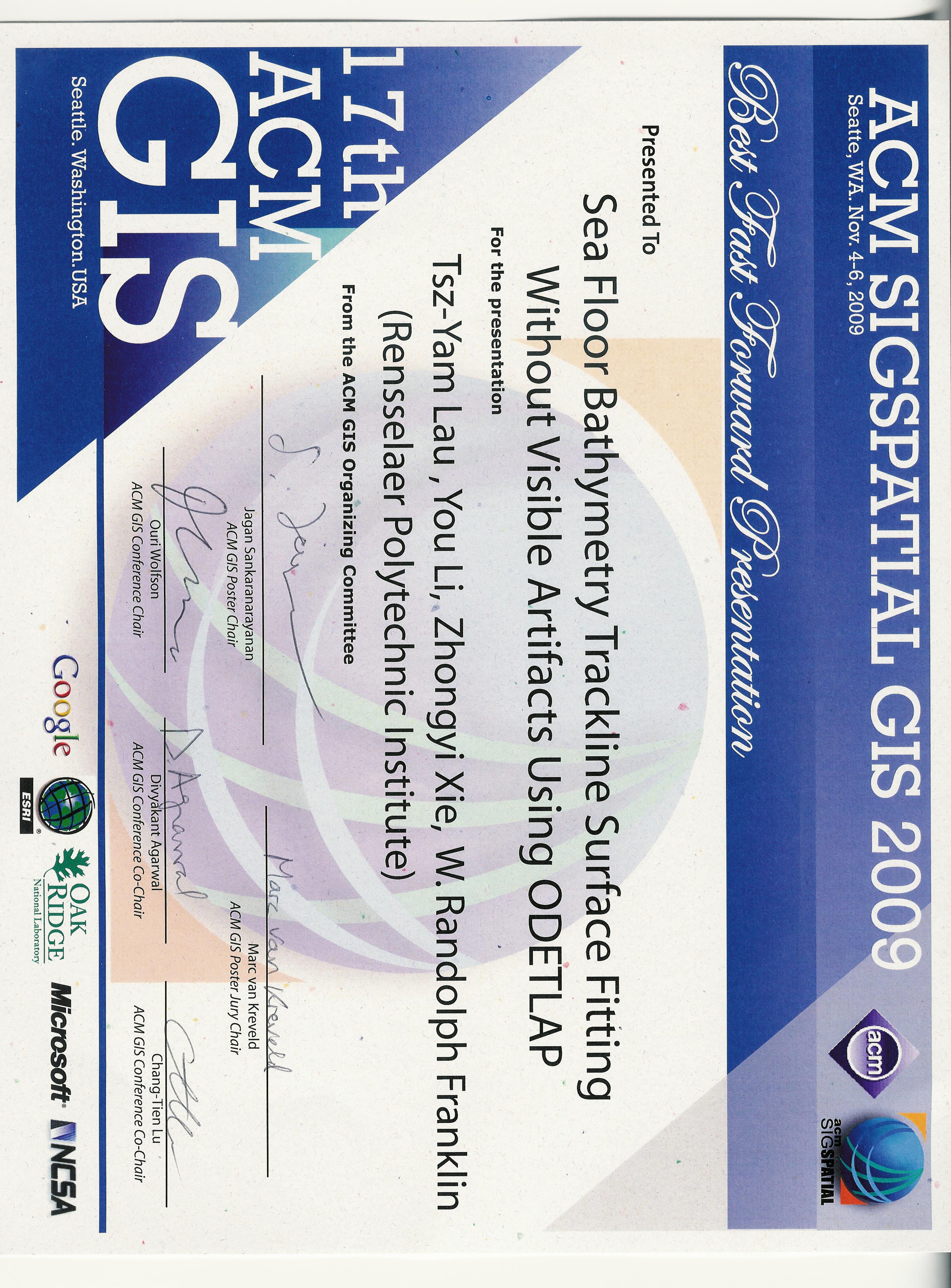
- Tsz-Yam Lau, You Li, Zhongyi Xie, and W. Randolph Franklin.
Sea floor bathymetry trackline surface fitting without visible artifacts using ODETLAP.
In 17th ACM SIGSPATIAL International Conference on Advances in Geographic Information Systems (ACM SIGSPATIAL GIS 2009). Seattle WA USA, 4–6 Nov 2009.
Winner of the best fast forward presentation award.
[details] [full text] [slides] [poster] [video] [award] [BibTeX▼]