I probably got the idea for this in 2009 during my DARPA GeoStar project (2005-2009) from looking at trackline data and at how badly it was interpolated by existing methods.
There is no journal pub because we got sidetracked by other things. Pity.
Several other topics overlap this idea; browse around.
Some software is over on the software page.
2014
- Wenli Li, W. Randolph Franklin, Salles V. G. de Magalhães, and Marcus V. A. Andrade.
Restricted bathymetric tracklines interpolation.
In 24th Fall Workshop on Computational Geometry. U. Connecticut, Storrs CT, USA, 31 Oct – 1 Nov 2014.
(extended abstract).
[abstract▼] [details] [full text] [slides]
[BibTeX▼]
In this paper, we propose a method to interpolate a small bathymetry with long and thin sand bars as distinctive features. Underwater terrain, or bathymetry, is measured by a single beam or multibeam echosounder attached under a boat. Measurement points are distributed along the a track of the boat and their positions and values constitute a trackline. Although full coverage is possible in multibeam surveys, tracklines are often sparse and thin, especially in single beam surveys, and it is expected to interpolate the bathymetry from tracklines. There are dozens of existing spatial interpolation methods with their strengths and weaknesses, and some are more widely used than others. One of the methods, overdetermined laplacian partial differentiation equations (ODETLAP), has been successfully used in bathymetry data interpolation and shown to be better than some of the popular methods. However, it is more suited for large-scale bathymetry without significant linear or continuous features.
@inproceedings{li-fwcg-2014,
    author = "Li, Wenli and Franklin, W. Randolph and de Magalhães, Salles V. G. and Andrade, Marcus V. A.",
    title = "Restricted Bathymetric Tracklines Interpolation",
    booktitle = "24th Fall Workshop on Computational Geometry",
    year = "2014",
    month = "31 Oct -- 1 Nov",
    address = "U. Connecticut, Storrs CT, USA",
    note = "(extended abstract)",
    mykey = "marcus wenlili salles bathy",
    customlinkslides = "https://wrfranklin.org/p/187-fwcg2014-li-bathy-talk.pdf",
    href = "\bibhrefpt{187-fwcg2014-li-bathy}{187-fwcg2014-li-bathy-talk.pdf}"
}
2012
- Tsz-Yam Lau.
Two-step ODETLAP and induced terrain for improved geographical data reconstruction.
PhD thesis, Rensselaer Polytechnic Institute, 2012.
[details] [full text]
[BibTeX▼]
@phdthesis{lau-phd,
    author = "Lau, Tsz-Yam",
    title = "Two-step {ODETLAP} and induced terrain for improved geographical data reconstruction",
    school = "Rensselaer Polytechnic Institute",
    mykey = "odetlap hydro lau theses bathy",
    year = "2012"
}
2010
- W. Randolph Franklin, Zhongyi Xie, Eddie Lau, and You Li.
Algorithms for terrain and bathymetric sensor data.
In ICA Workshop on Advances in Sensors and Algorithms for Topographic and Thematic Mapping. Orlando, Florida, 19 Nov 2010. The International Cartographic Association (ICA) Commission on Mapping from Satellite Imagery.
[details] [full text] [slides]
[BibTeX▼]
@inproceedings{ica-2010,
    author = "Franklin, W. Randolph and Xie, Zhongyi and Lau, Eddie and Li, You",
    title = "Algorithms for terrain and bathymetric sensor data",
    booktitle = "{ICA} Workshop on Advances in Sensors and Algorithms for Topographic and Thematic Mapping",
    year = "2010",
    address = "Orlando, Florida",
    month = "19 Nov",
    organization = "The {International} Cartographic Association {(ICA)} Commission on Mapping from Satellite Imagery",
    customlinkslides = "https://wrfranklin.org/p/143-orlando-ica-sensors-2010-talk.pdf",
    mykey = "xie youli lau bathy",
    href = "\bibhrefpt{143-orlando-ica-sensors-2010}{143-orlando-ica-sensors-2010-talk.pdf}"
}
2009
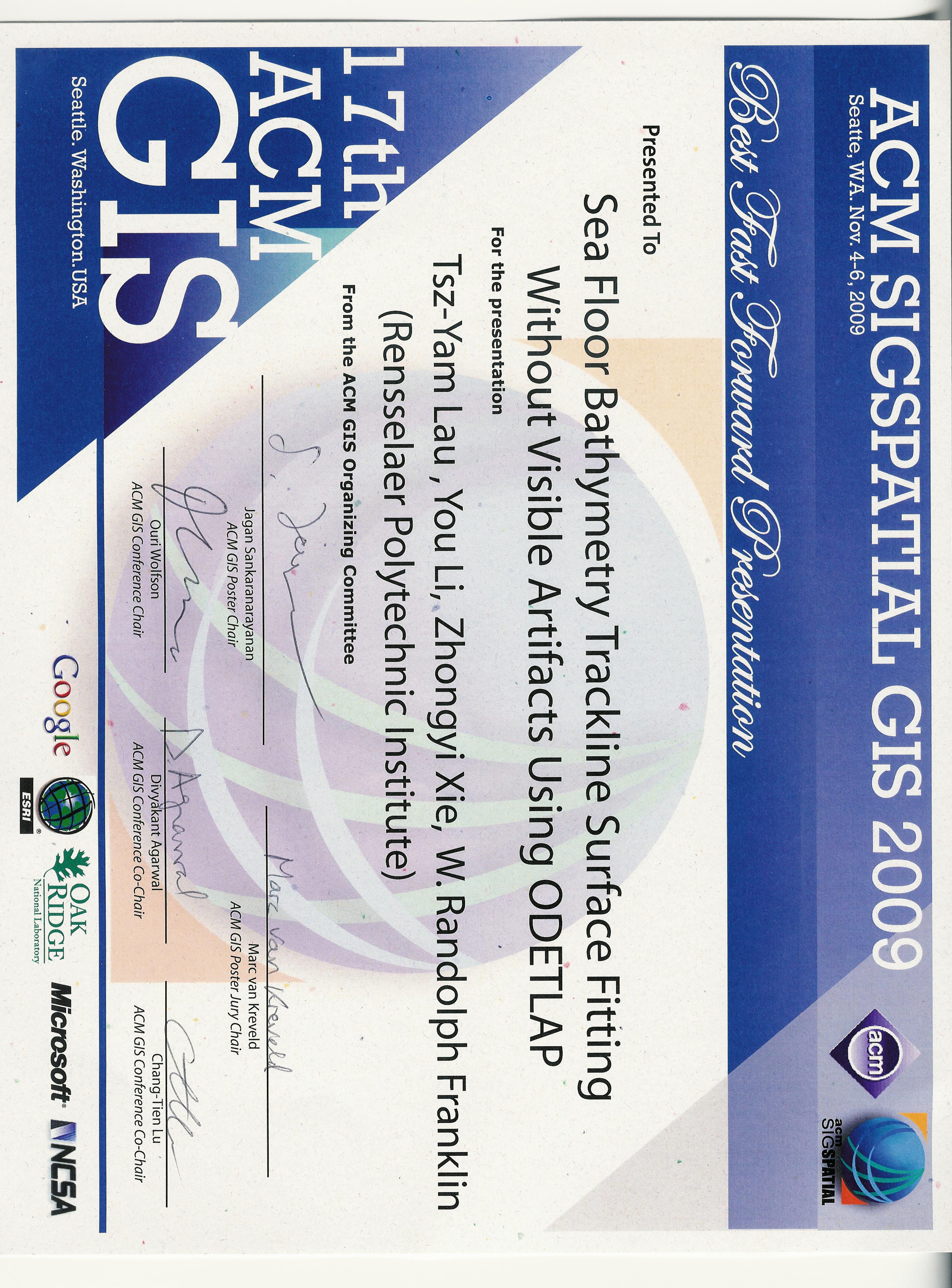
- Tsz-Yam Lau, You Li, Zhongyi Xie, and W. Randolph Franklin.
Sea floor bathymetry trackline surface fitting without visible artifacts using ODETLAP.
In 17th ACM SIGSPATIAL International Conference on Advances in Geographic Information Systems (ACM SIGSPATIAL GIS 2009). Seattle WA USA, 4–6 Nov 2009.
Winner of the best fast forward presentation award.
[details] [full text] [slides] [poster] [video] [award]
[BibTeX▼]
@inproceedings{lau-acmgis-2009,
    author = "Lau, Tsz-Yam and Li, You and Xie, Zhongyi and Franklin, W. Randolph",
    title = "Sea Floor Bathymetry Trackline Surface Fitting Without Visible Artifacts Using {ODETLAP}",
    booktitle = "17th {ACM SIGSPATIAL} International Conference on Advances in Geographic Information Systems ({ACM SIGSPATIAL GIS} 2009)",
    year = "2009",
    address = "Seattle WA USA",
    month = "4--6 Nov",
    note = "Winner of the best fast forward presentation award",
    customlinkslides = "https://wrfranklin.org/p/129-acmgis2009-lau-talk.pdf",
    customlinkposter = "https://wrfranklin.org/p/129-acmgis2009-lau-poster.pdf",
    customlinkvideo = "https://wrfranklin.org/p/129-acmgis2009-lau-video.avi",
    customlinkaward = "https://wrfranklin.org/p/129-acmgis2009-lau-ffaward.jpg",
    href = "\bibhrefpttppv{129-acmgis2009-lau}",
    mykey = "xie youli odetlap bathy lauacmgis2009"
}
Contact: WRF